UK data service seeks to manage ground risk for building projects
The aim is to improve how geotechnical data is managed, shared and reused.
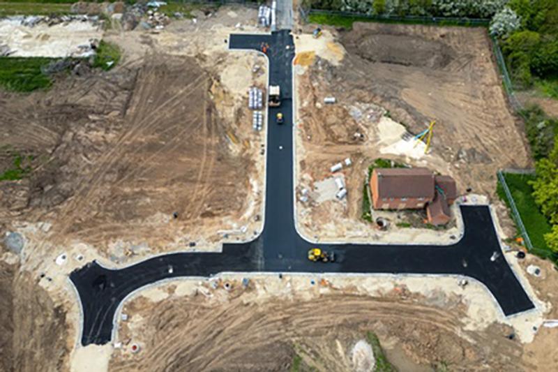
The British Geological Survey (BGS) is leading the strategic initiative to reduce the likelihood of unexpected ground conditions, which can cause major delays and add costs to infrastructure projects.
BGS’ Common Ground project will support the development of a National Geotechnical Data Service, bringing together aggregated, verified geotechnical data in industry-standard formats.
This should enable construction teams to make informed decisions about ground conditions and geohazards at an earlier stage and manage risk upfront.
The Common Ground initiative already collates borehole logs, lab test results and site investigation reports into the National Geotechnical Properties Database using standard AGS formats.