Mapping metal-rich brines
Critical metal deposits could be more easily found by mapping the location and composition of subsurface fluids.
A combination of different methods has been applied by a team from the Universities of Bristol and Oxford, UK, alongside Cornell and Michigan State Universities, USA.
Research lead Dr Thomas Hudson from the University of Oxford says, 'Our study is unique for a few reasons. Firstly, it is the first time that attenuation and anisotropy have been used in combination to infer that fluids are likely trapped along fractures. Secondly, it is the first time, to my knowledge, that seismic attenuation has been compared to magnetotelluric conductivity data, which provide a powerful tool for mapping the presence of brines in the subsurface.'
While seismic attenuation measures the loss of energy through a medium, seismic anisotropy measures how the speed of the seismic waves varies depending on the direction and shows how fluids travel along faults.
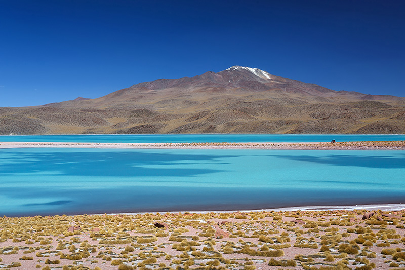
The researchers have tested their approach on Uturuncu – a dormant volcano in the Bolivian Andes, which last erupted 250,000 years ago. It sits upon the largest active magma-body on Earth. This is a source of hot, metal-rich fluids. The nearby Atacama Desert results in a dry surrounding crust, which enhances any images of the fluid-rich crust.
The measurements were taken from data of 1,356 earthquakes captured between April 2010 and October 2012 by a network of 33 seismometers near the dormant volcano. Together, seismic attenuation and anisotropy produced a rough map indicating whether the underlying crust was partly or fully saturated with fluids, at approximately 1km resolution.
The high-resolution map can also identify what fluids can be found, where the brines are, and whether they contain carbon dioxide or not. Where there is carbon dioxide, the system is still active. If there is no carbon dioxide, it is stable and not actively accumulating minerals.
Hudson notes the technique would still be possible with less seismometers and less earthquakes, but there would be more uncertainty and poorer image resolution.
The attenuation tomography processing from raw data to an image is split into three parts. Firstly, they detect and locate the earthquakes, then they measure the path-average attenuation for each earthquake-receiver pair, and then they perform tomographic inversion of all the receiver pairs.
Hudson adds, 'The magnetotelluric conductivity data is critical for distinguishing different brines from one another, as different brines can have very different conductivities. Seismic data is approximately insensitive to different brine compositions, as their density doesn’t change much. However, seismics are very sensitive to whether the brine is supercritical or not. This is why our method combined with conductivity tomography would be so valuable.'
He suggests the analysis could be replicated on a commercial scale, but with ideally more instruments and more production-ready software. They plan to test their technique on geothermal sites in the UK, Zambia and Montserrat in the future.